You Can Reach Us at


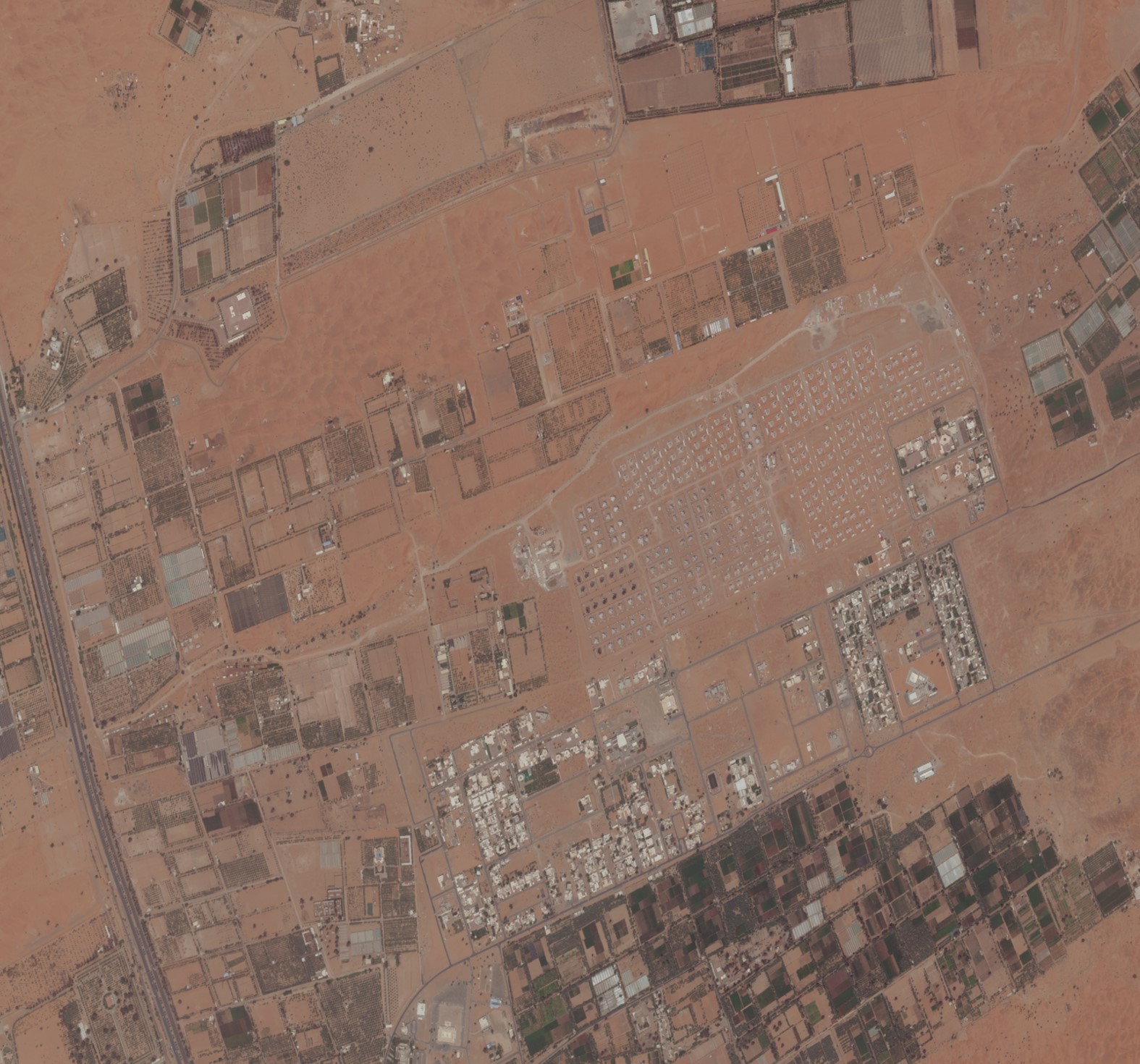
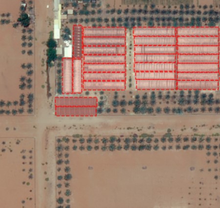
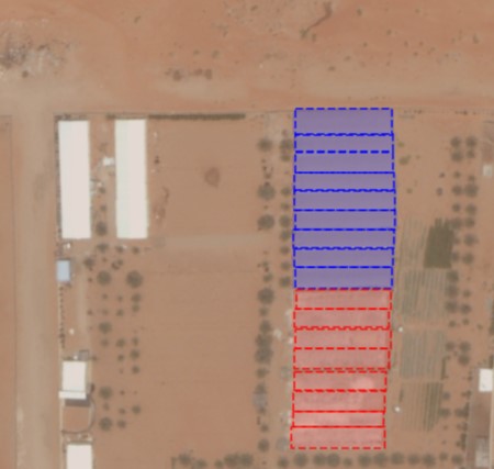
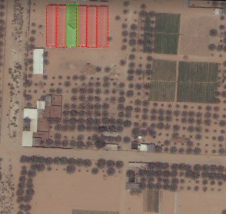
MicroEarth is AI-driven solution using object-based classification for detection and delineation of earth landmarks from high resolution satellite imagery.
The solution provides valuable intelligence on features such as greenhouses and their current state for better planning and accurate decisions.
MicroEarth in Action
HOW DOES IT WORK

INDUSTRIES


Request a Demo